Methodology for Calculating Groundwater Anomalies
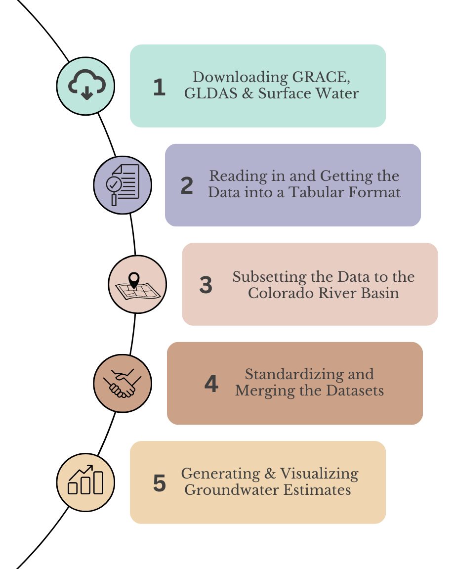
In this project, we explored groundwater anomalies in the Colorado River Basin, making use of satellite data and ground-based observations. We utilized three key datasets - namely, GRACE data from NASA, GLDAS data from NASA, and Surface Water from USGS and USBR. Transitioning to the next phase, we read in and shaped them into a digestible, tabular format. Our focus then narrowed down to our region of interest–the Colorado River Basin. It then became necessary to standardize the units of measurement and resolution of these datasets. We then merged them into a unified whole, creating a comprehensive estimate of groundwater anomalies for the region. This intricate process is illustrated below: